
Sandy Point, Texas Population, History and Location
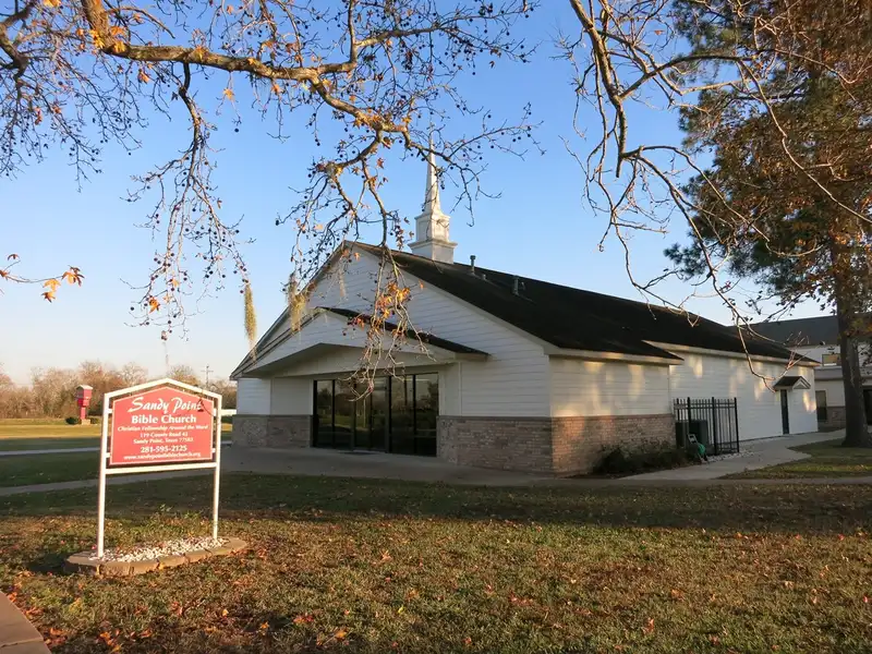
Sandy Point, Texas is a small city in north central Brazoria County. It sits on Farm to Market Road 521, about 27 miles southwest of downtown Houston. Sandy Point is one of the Houston area towns in the county list. The city stands at the entrance to a state prison unit. Sugar and cotton drove its early economy in the 19th century. Today it is a quiet rural city with its own mayor and commission.
Sandy Point, Texas at a Glance
| Fact | Detail |
|---|---|
| County | Brazoria County |
| ZIP code | 77583 |
| Population (2020 census) | 207 |
| Area | 1.74 square miles (all land) |
| Elevation | 56 feet |
| Incorporated | 2012 |
| Government | Mayor C. J. Waller Jr. |
| School districts | Angleton ISD |
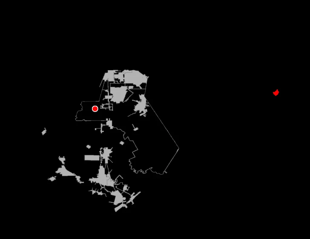
Where Is Sandy Point, Texas?
Sandy Point sits in north central Brazoria County, on Farm to Market Road 521. It lies at 29.38556 north and 95.48111 west, about 17 miles northwest of Angleton. Downtown Houston stands about 27 miles northeast of Sandy Point. Missouri City lies about 12 miles north, and Pearland sits about 16 miles northeast. The city covers 1.74 square miles of land, with no water area at all. Live oaks draped with Spanish moss grow thick near the city.
Sandy Point, Texas Population and Demographics
The 2020 census counted 207 people in Sandy Point, in 77 households. The median age was 40.8 years, and 23.7 percent of residents were under 18. White residents made up 52.2 percent of the town, and Black residents 21.3 percent. Hispanic or Latino residents made up 22.7 percent of the town. Residents of two or more races made up 20.3 percent. Data USA put the 2024 population at 183, with a median household income of $87,955.
History of Sandy Point, Texas
Sandy Point began as a farming community at the entrance to a state prison farm. Its post office opened in 1854 and served the community until 1955. By 1884 the town shipped sugar, molasses, and cotton from its mills and gins. Two general stores served residents, and several sugar mills and cotton gins ran. The Sandy Point Cemetery holds graves of soldiers from the Texas Revolution. It also holds graves from the Mier Expedition and the Civil War.
The population stood at 250 in 1884, then fell to 100 by 1914. It rose to 200 by 1925 and held near that level until after the war. Residents left after the war, and only 90 remained by the late 1940s. The count fell to 30 by 1970 and stayed at 30 in 2000. Sandy Point incorporated as a city in 2012 to avoid annexation by Missouri City. Missouri City agreed to recognize the incorporation in 2015.
Sandy Point Town Government
A mayor and commissioners govern Sandy Point, and voters elect them. The mayor is C. J. Waller Jr. The city lists its mailing address as P.O. Box 1098, Sandy Point, Texas 77583. The Rosharon Volunteer Fire Department provides fire services for Sandy Point. Sandy Point stands at the entrance to the Memorial Unit, a state men’s prison. A portion of the prison unit lies within the Sandy Point city limits.
Schools in Sandy Point, Texas
Students in Sandy Point attend schools in the Angleton Independent School District. The district includes Angleton High School, which serves the city. Sandy Point once ran its own schools, with three small schools in 1906. Those schools joined the Angleton district by 1948. The area also sits in the Brazosport College zone for higher education.
Housing in Sandy Point, Texas
The median property value in Sandy Point was $169,800 in 2024. The homeownership rate was 91.7 percent in the same year. The median property value stood at $187,500 in 2023, then fell to $169,800 in 2024. The 2020 census counted 92 housing units in the city. About 16.3 percent of those units stood vacant at census time.
How to Get to Sandy Point, Texas
Drivers from Houston take State Highway 288 south toward the Gulf Coast. They turn west on Farm to Market Road 521 near Rosharon to reach Sandy Point. The drive from downtown Houston covers about 27 miles. Drivers from Angleton take State Highway 288 north about 17 miles, then FM 521 west. Drivers from Missouri City head south on FM 521 for about 12 miles. Drivers can check the Houston places map for stops across the wider area.


