
Showers and Thunderstorms Sunday in Houston With a High Near 60

Photo by Billie Grace Ward, CC BY 2.0, via Wikimedia Commons.
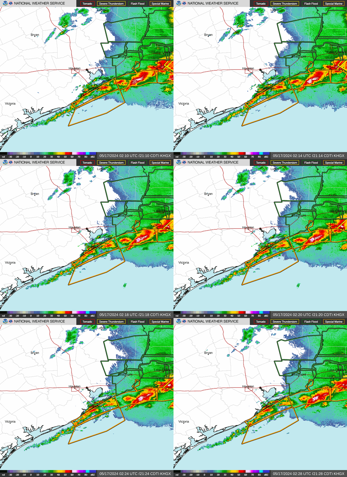
Sunday brings showers and thunderstorms to Houston, the National Weather Service says, under mostly cloudy skies. The high reaches near 60 degrees, and temperatures fall to around 56 degrees in the afternoon. East winds run around 15 mph with gusts as high as 30 mph. The chance of precipitation is 100 percent. New rainfall of between three quarters and one inch is possible. The sun rises at 6:46 AM and sets at 5:25 PM.
A Wind Advisory is in effect for coastal Harris County from 9 AM Sunday to 3 PM Monday, the National Weather Service says. Northeast winds of 20 to 25 mph with gusts up to 35 mph are expected. Gusty winds can blow around unsecured objects, bring down tree limbs, and cause a few power outages. The National Weather Service also flags Marginal and Slight Risks of excessive rainfall across the region on Sunday, with a Marginal Risk of severe weather across the southern parts of the region. A Small Craft Advisory and a Gale Warning cover the coastal waters through Monday.
Sunday night brings rain showers and a low around 50 degrees. Skies stay mostly cloudy, the National Weather Service says. Northeast winds run around 15 mph with gusts as high as 30 mph. The chance of precipitation is 80 percent. New rainfall of between a quarter and half an inch is possible.
Monday brings a slight chance of rain showers before 8 AM, then partly sunny skies with a high near 57 degrees, the National Weather Service says. Northeast winds run 5 to 15 mph with gusts as high as 25 mph. Monday night turns mostly clear with a low around 51 degrees. Tuesday turns sunny with a high near 64 degrees, and Wednesday stays partly sunny with a high near 71 degrees.
The National Weather Service posts updated forecasts and alerts for the Houston area. Find the latest forecast on its Houston/Galveston page.
The week ahead in Houston looks like this:
Monday, November 16. High near 57 degrees, low around 51 degrees. Slight chance of rain showers before 8 AM, then partly sunny and mostly clear.
Tuesday, November 17. High near 64 degrees, low around 55 degrees. Sunny and partly cloudy.
Wednesday, November 18. High near 71 degrees, low around 62 degrees. Partly sunny and mostly cloudy.
Thursday, November 19. High near 73 degrees, low around 62 degrees. Slight chance of rain showers after noon, then partly sunny and partly cloudy.
Friday, November 20. High near 73 degrees, low around 64 degrees. Mostly sunny and partly cloudy.
Saturday, November 21. High near 76 degrees. Slight chance of showers and thunderstorms after noon, then partly sunny skies.
Sunday, November 22. The National Weather Service forecast does not yet reach next Sunday, so no figures are given here.


